
Seequent Ulc 6 views ♡
×-

-
 $1,580Res2DInv & Res3DInv resistivity inversion software - SeequentInvert and interpret 2D and 3D resistivity and induced polarisation survey data with Res2DInv and Res3DInv softwareVisit Store 0 0
-
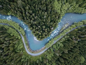 $4,800GeoStudio Flow groundwater & seepage analysis software - SeequentGeoStudio Flow models groundwater flow, potentiometric surfaces, and seepage for geotechnical and hydrogeological applications including dam safety.Visit Store 0 0
-
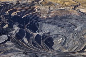 $8,190GeoStudio 3D slope stability analysis software - SeequentGeoStudio 3D software extends slope stability into three dimensions. Model surcharge loads, stress bulbs, and complex site geometries for more accurate assessments.Visit Store 0 0
-
 $3,200GeoStudio 2D slip surface slope stability software - SeequentGeoStudio 2D is an integrated software suite for modelling slope stability, groundwater flow, ground deformation, and more in soil and rock.Visit Store 0 0
-
 $12,165PLAXIS Monopile Designer geotechnical BIM software - SeequentDesign offshore wind monopile foundations efficiently with PLAXIS Monopile Designer software for advanced geotechnical analysis and optimisation.Visit Store 0 0
-
 $11,675PLAXIS 3D computational geotechnics & 3D FEA software - SeequentConduct advanced 3D finite element analysis for complex geotechnial engineering and infrastructure design projects with PLAXIS 3D.Visit Store 0 0
-
 $4,450PLAXIS 2D software SeequentPerform advanced 2D geotechnical finite element analysis for soil deformation, stability, groundwater flow, and infrastructure.Visit Store 0 0
-
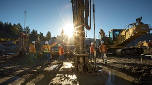 $2,420OpenGround borehole data management software - SeequentConnect your entire workflow and get secure, enterprise-grade geotechnical data management and reporting with OpenGround.Visit Store 0 0
-
 $11,600Leapfrog Works 3D ground modelling software - SeequentDesigned for civil engineering and environmental projects, with Leapfrog Works you will gain subsurface insight dynamic 3D geological modelling.Visit Store 0 0
-
 $11,010PLAXIS Stories - SeequentHome / Blog / Products & Solutions / PLAXIS Seeing beneath the surface: why subsurface insight is reshaping infrastructure Advanced 3D geological modeling integrates subsurface data to cut risks and costs, enabling safer, more resilient infrastructure delivery. 1 month ago / Civil, PLAXIS Turnin...Visit Store 0 0
×