
Anecdote 7 views Claim this Business♡
×-
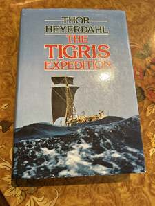 $92A signed first edition - Thor Heyerdahl The Tigris ExpeditionA scarce copy signed by the explorer and author himself, published by George Allen & Unwin, 1980, this copy is in VG condition.The story of an epic journey in a traditional sailing craft in 1977, from the ancient home of the Sumerians at the meeting place of the Tigris and Euphrates Rivers, all the...Visit Store 0 0
 -
 $72New Zealand Inventory of Biodiversity New Zealand Inventory of Biodiversity (3 Volume Set)New Zealand is the first country to have compiled a checklist of its entire living and fossil biota.This trilogy provides a review and inventory of New Zealands's entire living and fossil biodiversity - an international effort involving 238 New Zealand and overseas specialists and the most comprehen...Visit Store 0 0
 -
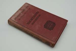 $38Phonography anyone? A scarce copy of Pitman's Shorthand Instructor from the 1930'sThis is the Third Australian edition. Published by Sir Isaac Pitman and Sons, circa 1937.Red cloth hard covers, 293pp.Cover faded, nice grafitti by its former owners. Binding strong and sound.VGVisit Store 0 0
 -
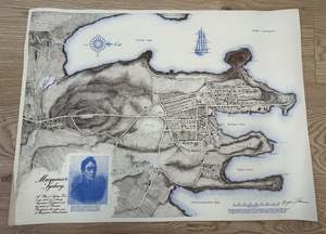 $46an unusual and stunning hand drawn map illustrating MacQuarie's Sydney circa 1810Drawn and signed by the artist cartographer Bryan Thomas in 1975. Unframed, on paper it measures circa 595mm by 455mmVisit Store 0 0
 -
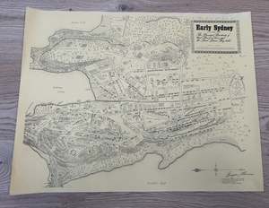 $40an unusual hand drawn map illustrating Early Sydney circa 1802-1809Drawn and signed by the artist cartographer in 1970. Unframed, on paper it measures circa 595mm by 455mmVisit Store 0 0
 -
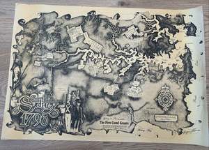 $46an unusual hand drawn map illustrating early Sydney - the First Land Grants 1796Drawn and signed by the artist cartographer Bryan Thomas in 1978. Unframed, on paper it measures circa 635mm by 450mmVisit Store 0 0
 -
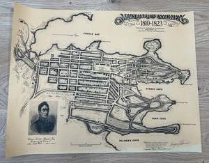 $46Bryan Thomas hand drawn map illustrating MacQuarie's SydneyDrawn and signed by the artist cartographer in 1979. Unframed, on paper it measures circa 588mm by 450mmVisit Store 0 0
 -
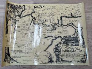 $40Bryan Thomas hand drawn map illustrating Historic ParramattaDrawn and signed by the artist cartographer in 1981. Unframed, on paper it measures circa 588mm by 450mmVisit Store 0 0
 -
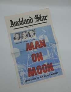 $64Moon landing memorabilia! Original 1969 Auckland Star SupplementWe are off again to the moon. But nothing beats first time!This is a stunning souvenir supplement from the Auckland Star with fascinating illustrations and stories, published Monday July 21st 1969.VG Condition. Could make a fab framed poster too.Visit Store 0 0
 -
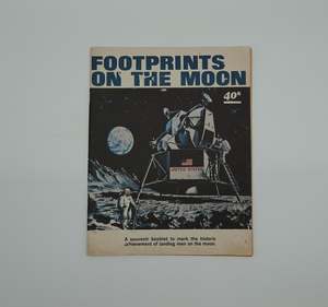 $49original moon landing ephemera! NZ Herald Supplement from 1969Its nearly 60 years later but we are finally off to the moon again!Nothing beats first time and this is an important piece of memorabilia from that stunning Apollo 11 achievement.Full, bound soft cover Herald supplement, circa A4 sized, 55pp, in VG conditionVisit Store 0 0
 -
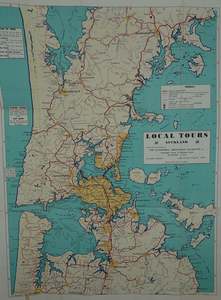 $64Beautiful large vintage AA Auckland Local Tours map from 1958Lands and Survey licensed N0.1958/1 this fold out map is vibrant and interesting with trips and pitfalls for novice travellers such as."Danger! Fishing Do not venture too close to the edge of rocks on the West Coast. Beware of large and unexpected rollers"VG condition, minor marks or stains but free...Visit Store 0 0
 -
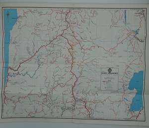 $42A vibrant colourful AA map of the King Country from the 1960sFeaturing King Tawhiao after whom the King Country is named. Folded, ideal for framing.Visit Store 0 0
 -
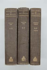 $155An Encyclopedia of New Zealand Vols I-IIIEverything about everything in NZ. well at least up until 1966!Official Ēncyclopaedia about New Zealand, published in three volumes by the New Zealand Government in 1966. Edited by Alexander Hare McLintock, the parliamentary historian, assisted by two others, the encyclopaedia included over 1,800 a...Visit Store 0 0
 -
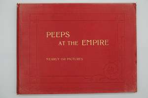 $109Peeps At The Empire - Illustrating Life and Scenery in Great Britain and her ColoniesPeeps at the Empire" was a series of illustrated books published in the early 20th century aimed mostly at children, showcasing the life and scenery of Great Britain and its colonies, offering a glimpse into the British Empire's vast power and reach.This book has landscape coffee table format with f...Visit Store 0 0
 -
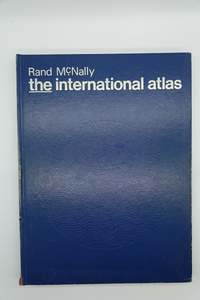 $75Rand Mc.Nally The International AtlasThis is a classic.A large (385mm x 285mm) Atlas from the golden mapping era of the 70's and at the height of the cold war. Previously used by iconic New Zealand born engineering firm Beca, to guide their global expansion plans.Cloth hard cover, 222 pp, full page colour maps. VG , minor scuffing the...Visit Store 0 0
 -
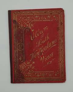 $94A beaut' looking vintage tourist booklet....Album of South New Zealand ViewsThis little embossed hard cover booklet folds out to reveal a set of stunning black & white photographs of the early city of Dunedin. circa 1880.It is quite a rare item these days and in G condition, with a slight front cover stain. Otherwise sound and very tidy$94Visit Store 0 0
 -
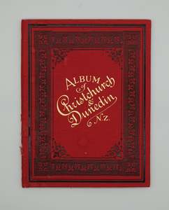 $94A real collectors item.....Album of Christchurch & Dunedin N.ZThis lovely little booklet has an embossed hard cover, and folds out to reveal a chain of black and white photographs of New Zealand's southern cities from circa 1880.Rare and in VG condition, minor spine scuffing.$94Visit Store 0 0
 -
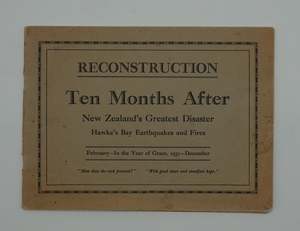 $78Rare and important record of Hawke's Bay earthquakeRECONSTRUCTION Ten Months After New Zealand's Greatest Disaster - Hawkes Bay Earthquake and Fires, is a fascinating and rare booklet of B&W images taken December 1931, just 10 months after the fateful day of February 3rd when the Hawkes Bay was torn apart.24 pages of stunning b&w imagery, soft cover...Visit Store 0 0
 -
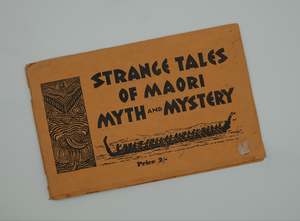 $82Stunning and rare early New Zealand tourist souvenir... Strange Tales of Maori M…A rare little booklet, produced for early tourists with Tangata Whenua legends, stories and B&W images.Produced by W. Gibbs Beckett, published by National Magazines Ltd, 1936.Soft card covers, 63pp. Approx A5 landscape size. VG condition for age.$82Visit Store 0 0
 -
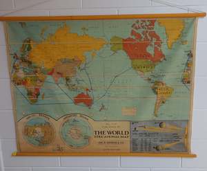 $195Stunning decorative vintage World Wall Map with wooden hangarsThis large canvas map is in VG condition and dates from the 1970's.Visit Store 0 0
 -
 $104The Early Canterbury Runs, first edition with fold out mapThis stunning book originated as a series of newspaper cuttings published in The Press (Christchurch, N.Z.) between 1924 and 1927. Acland compiled these articles into book form due to public interest. The work is highly valued for its detailed, authoritative accounts of approximately 170 individual...Visit Store 0 0
 -
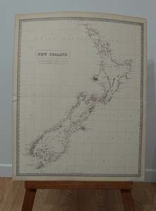 $97New Zealand Map by A K Johnston, 1856This lovely piece of history is hand coloured and originates from the National Atlas 1856 , centre fold, measures 650 x 530mm, light age toningVG, Scarce. Unframed. $97Visit Store 0 0
 -
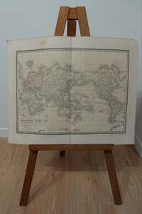 $244Historic World Map from 1842Alexandre Emile Lapie - Mappe Monde Sur La Projection De Mercator 1842.Hand coloured copper engraved map, with title lower left, unframed. Plate 16 from Atlas universel de geographie ancienne et moderne, precede d'un abrege de geographie physique et historique, measures 51 x 66cm. Scarce, VG.$244Visit Store 0 0
 -
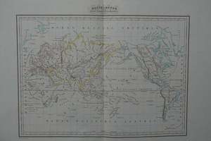 $267Historic World Map published in 1832Thierry - Mappe Monde suivant la projection de Mercator 1832. Hand coloured copper engraved map, unframed, 48 x 60cm, edge wear and loss to corners.An interesting map on Mercators projection centred on the Pacific Ocean and Australia with a depiction of the Northwest Passage and the South Shetland I...Visit Store 0 0
×